Photo courtesy of Oayyyy
Arizona is home to the quintessential southwestern desert scenes of old western movies: vast stretches of highway lined with cactus and tumbleweeds, the towering red rocky outcrops of Monument Valley, and the world-famous Grand Canyon.
Outdoor and landscape photographers visiting the Grand Canyon state can capture the largest cacti in the country, golden sunsets on red rock formations, and surprisingly aqua blue waterfalls, plus Ponderosa pines and golden aspens in autumn.
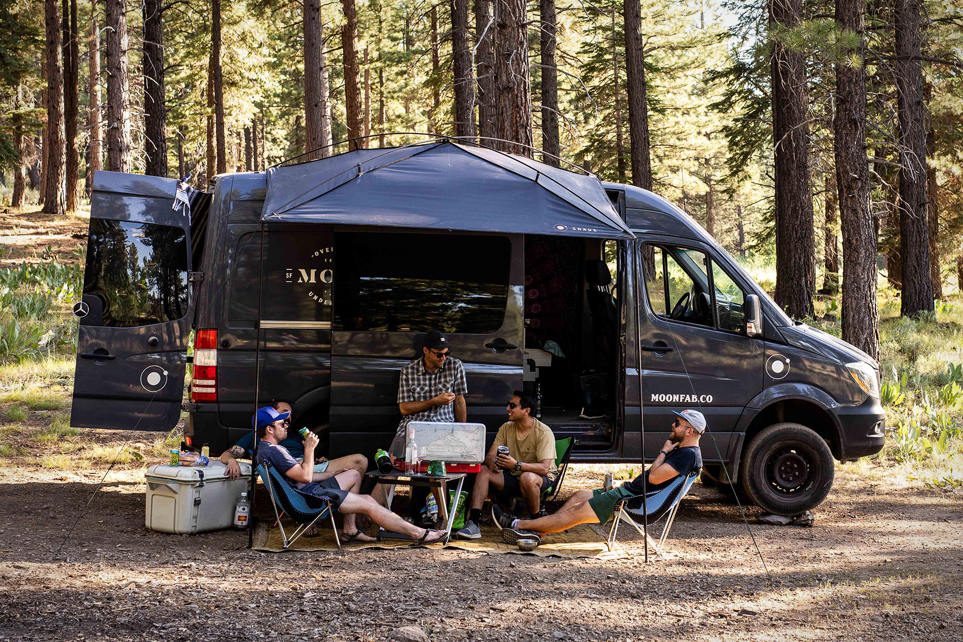
Grab your sunglasses, camera, and hop in your Jeep camper, Campervan or Compact RV rental because we’ve curated the most beautiful places to take photos in Arizona on your next southwestern road trip.
Saguaro National Park
Photo by: Adventure Family
The Saguaro Cactus is a timeless symbol of the American southwest. The largest cactus in the US, these towering figures can reach 40-50 feet tall, and are often over 100 years old.
The Saguaro National Monument was established in 1933 to protect this special area where they grow, which was was designated a National Park in 1994.
Photo courtesy of Andrei Stoica
With approximately 1.9 million Saguaros in the park, you will have your pick of breathtaking desert scenery to photograph. You can start with the eastern Rincon Mountain District, or the Tucson Mountain District to the west. On the western side, try the Rattlesnake Trail for a sunrise photography hike to beat the heat. Catch the early morning light glowing behind the deceptively-named Teddy Bear Cholla – these plants appear soft, but do not touch!
Their spines have an almost magnetic quality and they seem to stick in before you even make contact. Watch your step, and don’t get too close to all the spiny plant life in the park.
At certain times of year, you can also capture cactus blooms that add splashes of bright color to the desert landscape. And of course, you’ll leave with many photos of the famous Saguaros.
Grand Canyon National Park
Photo courtesy of Johnny Adolphson
No trip to Arizona is complete without visiting the world-renowned Grand Canyon National Park.
The mile-deep and 18-mile-wide canyon may have been described in a hilarious one-star review as nothing more than “a hole. A very, very large hole,” but photographers are sure to find stunning views to capture around each bend of the 277 miles of Colorado River that run through the canyon.
One of the most famous viewpoints of the canyon is Hopi Point on the South Rim. Because the point juts farther into the canyon, it offers sweeping views to the east and west, making it a great spot for either sunrise or sunset.
If you want to get away from some of the crowds at the more popular viewpoints, try Shoshone Point, which requires a one-mile hike. As long as there isn’t a wedding or other event booked there, you might have some of the greatest views of the Grand Canyon all to yourself.
Havasu Falls
Photo courtesy of Luis Ramirez @luisramirezphotos
Havasu Falls is a hidden oasis in the desert near the Grand Canyon, where rushing waters cascade into otherworldly turquoise pools among the vibrant red rocks.
This is not an easy destination to get to, but is an incredibly special place for photographers, making it well worth the effort to get there.
Outside the jurisdiction of Grand Canyon National Park, Havasu Canyon is administered by the Havasupai Tribe, whose name means “people of the blue-green waters.” A permit and campground reservations are required in advance. Learn more about how to access this location here.
It’s about a four-hour drive from Grand Canyon Village to the trailhead for the eight-mile hike to Supai Village. The trail is perfect for late autumn hiking, once the temperatures start to cool down.
There are five photogenic waterfalls along your journey: Upper and Lower Navajo Falls, Havasu Falls, Mooney Falls and Beaver Falls. Camping nearby allows you to photograph the falls at different times of day to find the best light and angles to capture the majesty of this place.
Flagstaff
Photos courtesy of Nick King @instagram.com/kingtv
The gateway town to the Grand Canyon, Flagstaff is a great pitstop on your Arizona adventure.
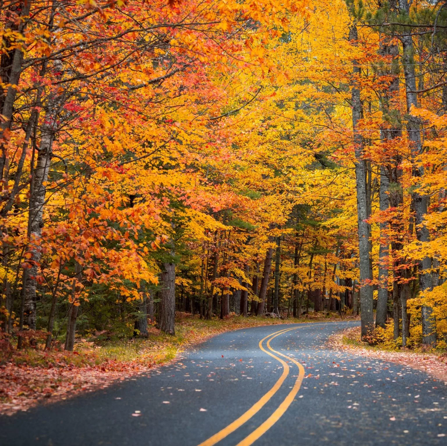
The town itself is charming and offers plenty of fine dining, bars, and breweries where you can refuel. Located at around 7,000 feet of elevation, Flagstaff also offers respite from the searing summer heat, and a refreshing change of scenery with Ponderosa pines, aspen trees, and even snow.
Visit in the fall to capture photos of spectacular yellow leaves on beautiful white aspens.
Photo courtesy of Crystal Renee @instagram.com/crystalrenee93
The Golden Aspens are mesmerizing when their yellow leaves dance in the breeze against a clear, bright blue Arizona sky.
To get up close with these beautiful trees, try the Aspen Nature Loop at Snowbowl, which is less than half an hour’s drive from Flagstaff. This easy 1.6-mile hike (although at high altitude, at around 9,000 feet) starts under the ski lift of the Snowbowl ski area, and allows you to walk through the golden yellow aspens.
Their leaves typically turn the first 2 weeks of October, so start planning your photography tour now! You can even monitor the changing leaves with Flagstaff’s “Leaf-o-meter” to help plan your visit.
Sedona
Photo courtesy of Kylie Montoya @instagram.com/kylie.montoya
The red rock formations of Sedona are picturesque, and your visit here might turn into a mystical one if you can tap into the spiritual side of this artistic and funky community found between Phoenix and Flagstaff.
Sometimes referred to as a cathedral without walls, the red rocks of Sedona are said to be home to vortex sites where healing energy emanates. Whether you want to meditate on the beautiful natural surroundings or capture them with your lens, Sedona is a memorable destination for your next Arizona visit.
Photo courtesy of Nina Camille @instagram.com/ninacamille
Simply driving through Sedona will reveal stunning scenery at every turn — you won’t be able to resist taking a lot of pictures out the window if you’re a passenger. But getting out among the red rocks is the way to best capture this unique landscape.
The famous Cathedral Rock is a must-see spot for photographers; in fact, it’s one of the most photographed sites in the state of Arizona. The red sandstone buttes reflected in still waters of the reflecting pools is the perfect shot, and can be reached a few ways off the Red Rock Scenic Byway, via Verde Valley School Road with is a moderate hike on Back-o-Beyond Road, or the Crescent Moon Picnic Site in Red Rock State Park.
Monument Valley
Photo courtesy of Diana & Daniel
Monument Valley, located on the Arizona-Utah border, has been featured in so many films that it has defined what people think of the American southwest. Vast stretches of red sand dotted with yucca plants are occasionally interrupted by impressive red sandstone bluffs.
About a five-hour drive from Phoenix, this remote region isn’t close to any major town, which kept it unknown to the general public for years until it began being featured in films in the 1930s.
Be prepared for an adventurous road trip to get to this location — perfect match for your Jeep camper, campervan, or compact RV. The 17-mile Tribal Park Loop will take you on a self-guided tour past the most iconic sites of the Monument Valley on a dirt and gravel road.
Four-wheel drive isn’t required, and the road is no problem for most campervan rentals. Be sure to stop for photos at John Ford’s Point — named after the filmmaker who first made this area famous — for stunning views of the valley.
If you’re feeling up for a hike, the Wildcat Trail is the only one available without a guide. Luckily, it takes you through some of the most impressive scenery in the park. Guided photography tours are also available to reach other famous landmarks.
*Note: Monument Valley is a Navajo Nation Park, so be sure to check their site for current closures due to Covid-19 before visiting.
Antelope Canyon
Photo courtesy of Cairo Umrani
Also located near the Utah border in far northern Arizona, Antelope Canyon is typically a hot spot for photography tourism.
Professionals and casual Instagrammers from all over the world flock to this uniquely beautiful slot canyon to see the etched sandstone formations lit from above. When you walk through the canyon and gaze up along the 120-foot canyon walls, you’ll instantly understand why this spot is so sought after for photographs.
Peak season is in the summer months when the direct overhead sun sends beautiful beams of light into the deep canyons. To avoid the crowds, try visiting in the fall or spring.
Run by the Navajo Nation, visits are by guided tour only. Up until the end of 2019, photographer-only tours were available.
However, changes have been proposed to their tours to manage crowds, and Covid-19 has caused further interruption. Be sure to check the Navajo Nation Park site for current information.
Horseshoe Bend
Photo courtesy of Carissa Vegas
Horseshoe Bend is a beautiful photo op about 10 miles away from Antelope Canyon in the Glen Canyon National Recreation Area. This scenic bend in the Colorado River creates a 270-degree horseshoe of water around what appears to be an island of towering rock.
The overlook is a 1.5 mile round-trip hike from the parking lot, located in Page, Arizona. The view faces west, making this a spectacular place for sunset photography.
Patronato San Xavier
Photo courtesy of instagram.com/Hannah_Bask
This 18th century Catholic church is the oldest intact European structure in Arizona, and is considered the finest example of Spanish Colonial architecture in the United States.
Two white towers surround baroque architectural sculpture on the front of the church, giving it the name “White Dove of the Desert.” This famous building has been depicted on postage stamps and the official seals of the City of Tucson and Pima County.
Photographers are drawn to this landmark because of its striking architecture contrasting with the surrounding desert landscape. The site is free to visit and a quick easy roadside stop near Tucson for fans of historical architecture.
Chiricahua National Monument
Photo courtesy of Vic Schaefer @instagram.com/vic_schaefer
Southeastern Arizona offers some unique landscapes for photographers, including the hoodoos and balancing rocks of Chiricahua National Monument. A scenic drive and miles of hiking trails await you in this “wonderland of rocks.”
You might also be able to photograph unique wildlife like the white-nosed coati or Chiricahua fox squirrel, both of which are rarely seen outside of Mexico and Central America, except in this special habitat.
Massai Point provides sweeping views overlooking the rhyolite (a type of volcanic rock) rock pinnacles. Also be sure to check out Big Balancing Rock, a geological wonder.
If you want to see everything this park has to offer, try Big Canyon Loop Trail, which takes you through Echo Canyon, Upper Rhyolite Canyon, Sarah Deming, Heart of Rocks, Big Balanced Rock, Inspiration Point, Mushroom Rock and Ed Riggs trails for 9.5 miles.
This is a long, strenuous hike, so be prepared with food, water, and of course your favorite camera and lenses to capture the wilderness along the way.
Photo courtesy of Paul Hurd
Arizona Adventures Awaits
Fall is the perfect time to visit Arizona, so pack your camera gear and explore!
And if you’re interested in activities while you’re in the Grand Canyon State, be sure to read our guides on best hikes in Arizona:
The Best Easy Day Hikes in Arizona >
Best Moderate Day Hikes in Arizona >